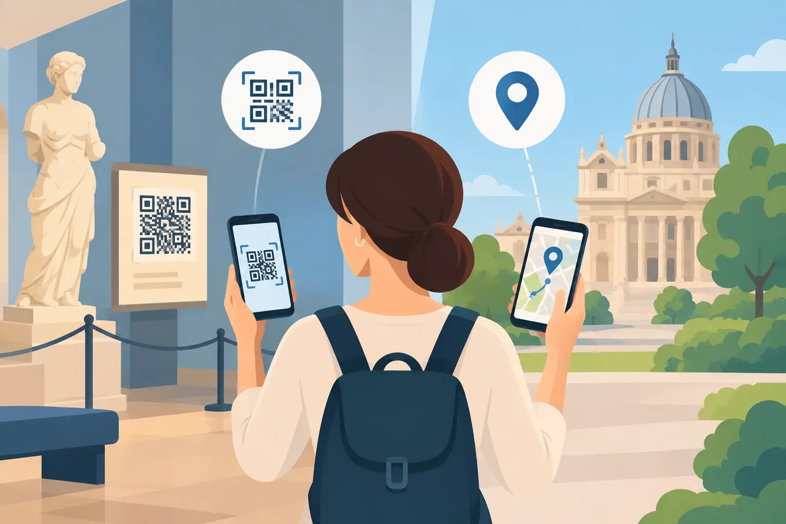
A visitor stops in front of a sculpture, a façade or a landscape. Should they scan a visible marker, or let their phone automatically play the content? Choosing between QR codes and GPS for a tour is not just a technical decision. It shapes visitors' freedom of movement, the quality of interpretation, the accessibility of the tour and the time staff spend managing it.
For a museum, heritage site or tourist office, both approaches have their place. The right choice depends above all on the layout of the site, its visitors and how independently they want to explore. In many projects, combining the two creates an experience better suited to visitors' needs than relying on a single activation method.
QR codes or GPS: two ways into the story
A QR code requires a deliberate action. The visitor spots the code, scans it with their smartphone and opens the associated content: an audio track, archive image, video, transcript or quiz question. This simple action provides a clear, visible way to access the tour.
GPS-based activation works differently. The app or web app identifies the visitor's approximate location and automatically offers content when they enter a defined area. It is particularly well suited to city walks, trails, gardens and larger sites, where stops may be far apart.
These two methods shape the visit in different ways. QR codes encourage visitors to choose what to explore and focus on a specific object. GPS supports more spontaneous exploration, with fewer signs to look for. Neither is universally better: the right choice depends on conditions at the site.
When should you choose QR codes for a tour?
Indoors, QR codes are often the most reliable option. Thick walls, display cases, different floors or closely spaced rooms can reduce location accuracy. A code placed beside an artwork or its label prevents visitors from accidentally playing commentary about another exhibit.
QR codes also suit tours where interpretation needs to follow a sequence or draw attention to specific details. In a temporary exhibition, for example, each piece of content can be linked to an identifiable exhibit without relying on GPS signal quality. Setup is quick for staff: a QR code can be added to signage, a booklet, an exhibit label or an outdoor panel.
There is a limitation, however: visitors need to notice the code and be willing to scan it. Inconspicuous signage, poor lighting or a queue in front of an artwork can discourage use. Codes should be placed at an accessible height, remain easy to read and come with clear instructions. “Scan to listen” is more effective than a pictogram on its own.
QR codes are also useful when a tour needs to work without collecting location data. Some organisations, particularly public bodies, want to use only the data that is strictly necessary. Scanning a code meets this requirement while leaving visitors in control of when they access the content.
Tours particularly suited to QR codes
QR codes are generally a good choice for indoor collections, monuments with closely spaced points of interest, temporary exhibitions and tours where each stop corresponds to a clearly identified object. They also provide an excellent starting point: a code at reception or on a panel can open the tour directly on a visitor's phone.
When does GPS genuinely improve the experience?
GPS comes into its own when the surrounding area forms part of the tour. In a historic town centre, on a remembrance trail, in a park or along a walking route, asking visitors to find a code at every stop can disrupt the experience. Location-based activation gives them more freedom to observe their surroundings and walk.
It can also bring points of interest to visitors' attention without extensive signage. This is an advantage in sensitive landscapes, protected sites or towns that want to limit visual clutter. Content can become available as visitors approach a historic washhouse, an old fortified gateway or a viewpoint, without adding an unwanted sign.
GPS does not guarantee accuracy to the nearest metre. In densely built-up areas, under tree cover, at the foot of cliffs or in some valleys, the signal can vary. An activation zone that is too small may never trigger the content; one that is too large may start the commentary before visitors have recognised the site. Tour design should allow realistic margins and provide manual access to the content.
Visitors also need to grant location permission on their phones. Some decline, out of caution or because they are unfamiliar with the feature. It is therefore best to explain clearly how location is used, avoid making it compulsory when unnecessary, and also offer a map or a list of stops.
Guideius addresses every digital cultural mediation challenge
Create a multilingual smartphone audio guide that is easy to deploy, accessible and tailored to your museum, heritage site or destination.
A hybrid approach is often the best fit
Treating QR codes and GPS as competing options can overlook two complementary needs. An outdoor tour can start with a QR code at the tourist office or reception point, then use GPS to support the walk. Conversely, a GPS-based tour can include QR codes at key stops when precise activation or immediate access to specific content is important.
Combining the two also helps keep the tour available if something goes wrong. If the phone takes time to establish its location, visitors can open a stop from the map. If a code is damaged or temporarily inaccessible, they can find the content in the tour's list of stops. The aim is not to add options for their own sake, but to prevent a technical problem from interrupting the visit.
With Guideius, organisations can combine these activation methods within the same tour, rather than imposing a single approach on every location. This flexibility is valuable for destinations that bring together an interpretation centre, a village, a trail or several partner sites.
What to consider before choosing
The first question concerns the setting: is the tour mainly indoors, outdoors or both? The second is how closely spaced the stops are. Artworks just a few metres apart often call for a visual marker, while a route covering several kilometres benefits from location-based navigation.
Next, consider your visitors. QR codes reassure people who like to control their own progress. GPS can make things easier for families, independent groups or anyone who does not want to handle their phone at every stop. In all cases, the interface should be readable, instructions concise, and visitors should be able to open the accessible content without complicated gestures.
Connectivity at the site matters too. A solution designed for offline mode reduces dependence on mobile coverage, particularly in historic buildings and rural areas. Content can be downloaded before setting off and accessed during the visit even when coverage is poor. GPS can still provide a location, although its performance varies with the device and surroundings.
Finally, account for the operating realities. Who will install and check the QR codes? How often will the tour change? Does the team have an accurate map of the areas covered? The right technology is one the organisation can maintain over time without an excessive workload or reliance on scarce specialist skills.
Make content activation part of the interpretation
How visitors access content influences how they engage with a place. A QR code can invite them to move closer, compare an archive image with today's landscape or choose between different levels of detail. GPS can bring a story to life at the right moment, as they enter a square or look towards the horizon, without drawing their attention to a physical sign.
In both cases, the content needs to justify the action requested. Simply repeating an exhibit label or information panel soon disappoints. An engaging voice, a soundscape, an image that is difficult to exhibit, a translation or a local person's account can give the digital tour real interpretive value.
Before launch, a trial walk with people who are not involved in the project is invaluable. It reveals poorly placed codes, inaccurate GPS zones, unclear instructions and moments when the story starts too early or too late. This is often what turns a series of technical checkpoints into a genuinely welcoming visitor experience.
Would you like to apply these ideas to your site?
Guideius helps deploy multilingual audio tours with QR codes, GPS, offline mode, multimedia content and privacy-friendly analytics.